FARMLAND
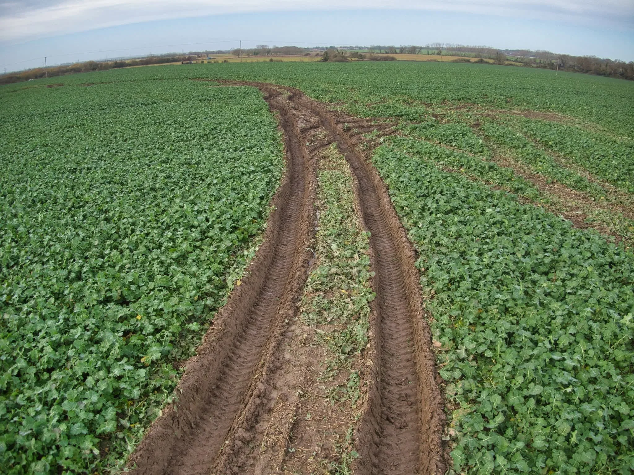
The proposed converter station will occupy 9 hectares of compulsorily purchased farmland 169.67 hectares are within the order limits A permanent A-grade road construction will cross multiple farms to reach the site cutting off access.
Environmental Schemes: Tracks and infrastructure will intersect environmental schemes.
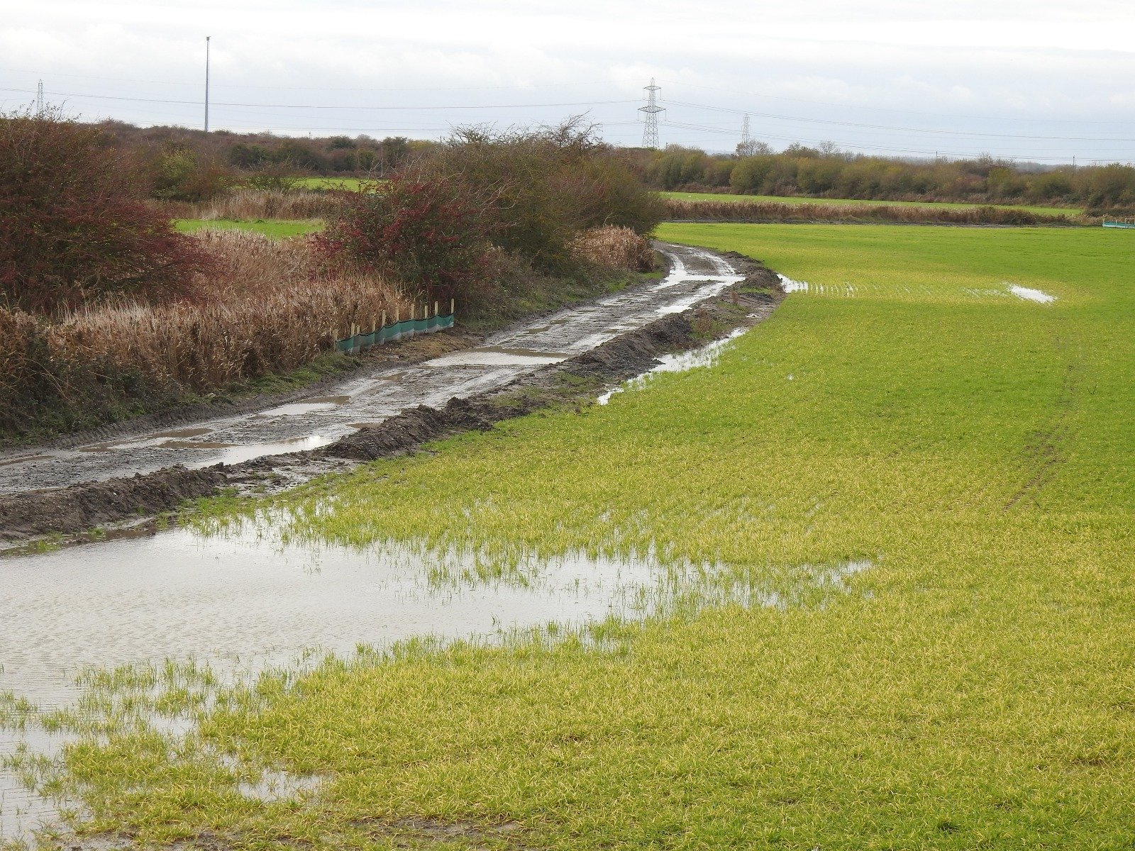
Clay Soil: The marshland, formed over centuries by sediment infilling the Wantsum Channel, consists of deep (up to 80m) alluvial clay deposits, resembling a "giant blancmange" with a thin, 1m solid crust. Fissures and channels have established underground for a prolonged period. This young, uncompressed clay has high shrink-swell capacity, causing significant expansion and contraction. A buried salt layer from its marine past risks surfacing and contaminating watercourses. Due to its unstable, plastic nature, this soil cannot be:
Stripped back and replaced, as it lacks structural integrity.
Heaped or stockpiled, as it becomes unmanageable and loses form.
Hold heavy loads as it collapses weight.
Dug at depth and reformed, as it cannot reconsolidate.
Excavated and filled with water for drainage ponds, left in anaerobic conditions under heavy weight, then returned to farmland.
Dug deeply without risking salination, excavation may expose and mobilise the salt layer.
Allowed to naturally drain after disturbing the fissures and channels under the soil.
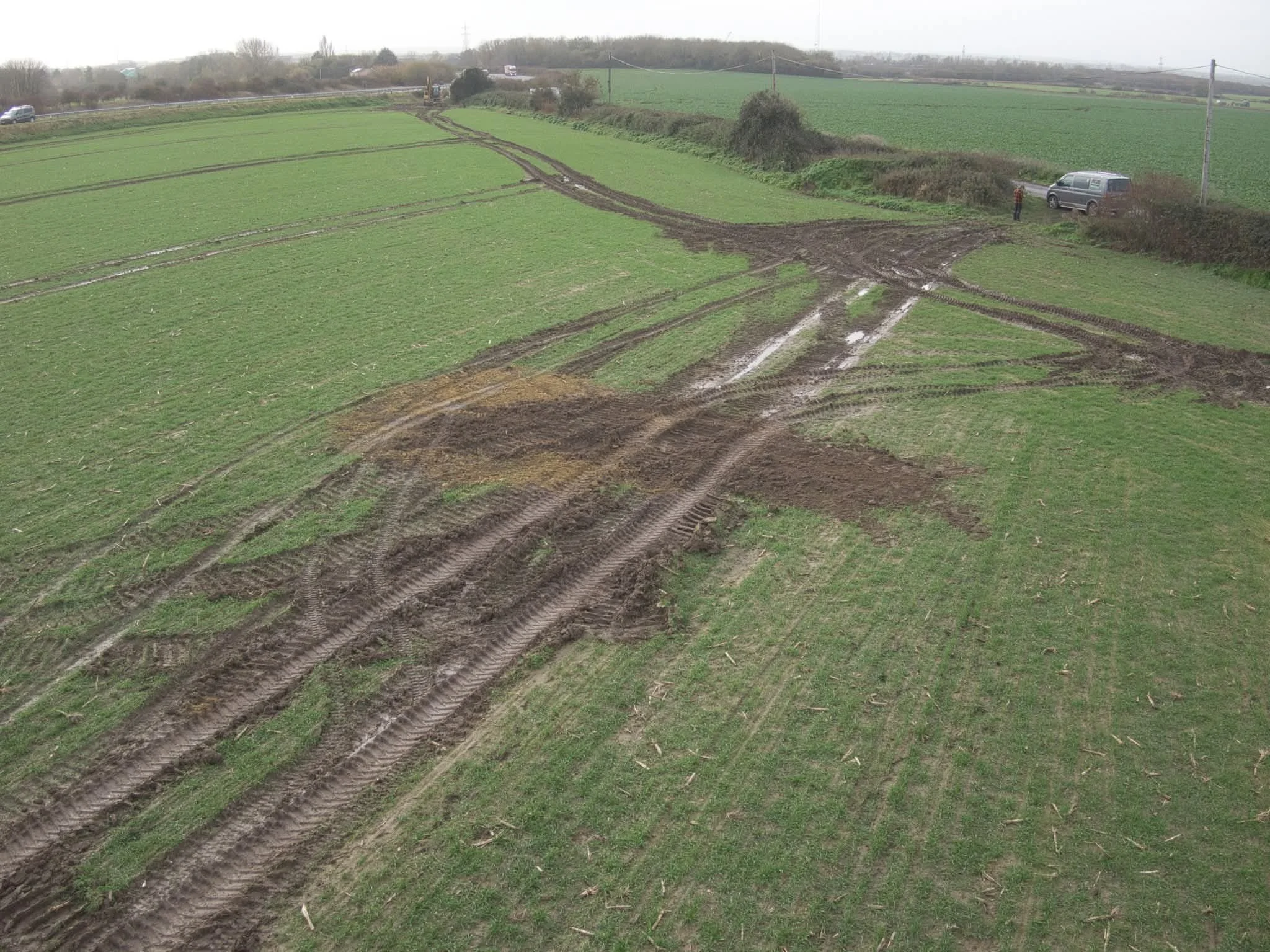
Archaeological pits excavated on the converter site in July 2024 for the Sea Link project, have not returned to their original condition, despite being returned to the farmer to continue farming.
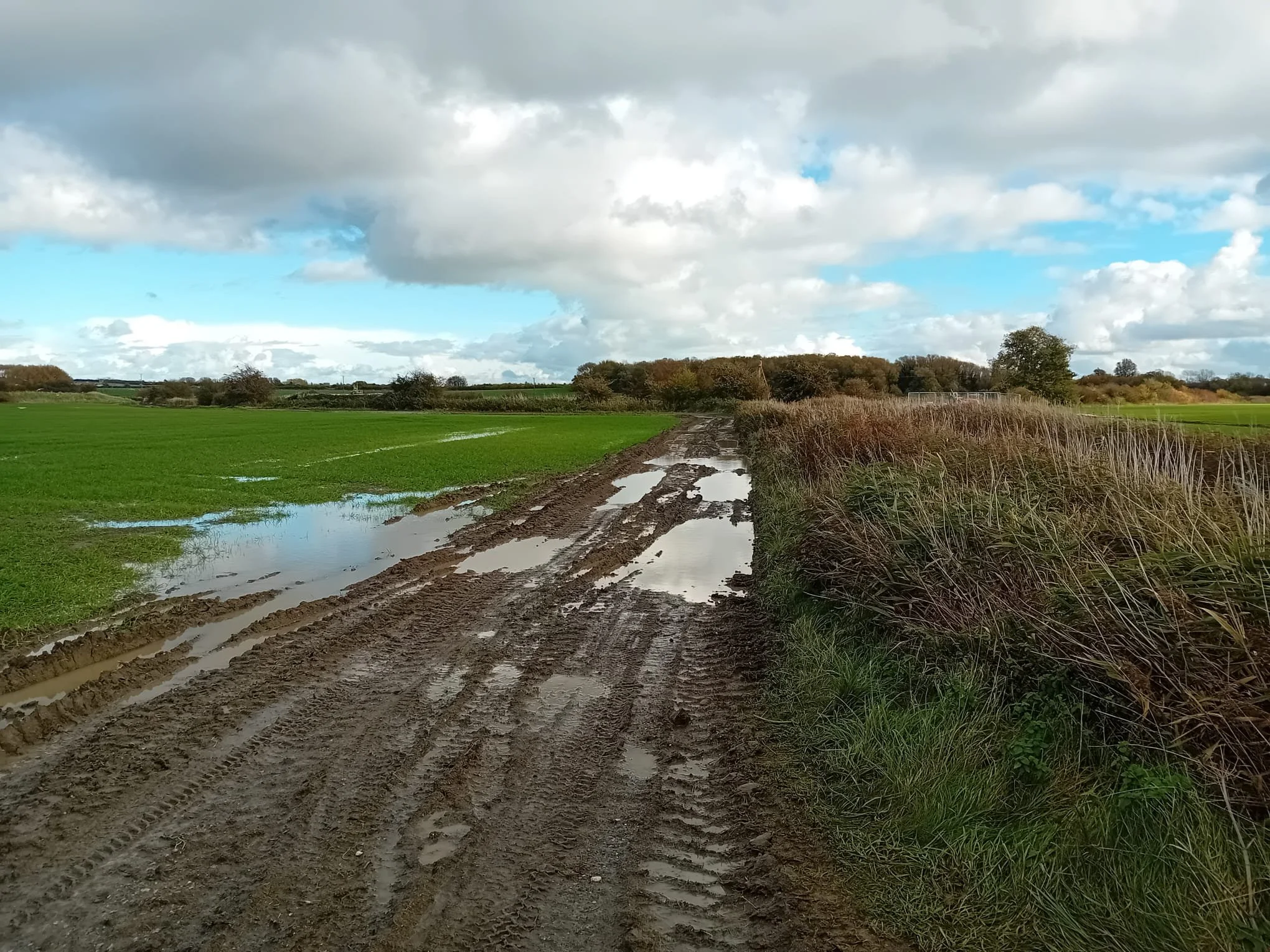
Water management: ground water, surface water and pollution put the farming environment at risk.
From Thanet Council local impact report:
“Best and Most Versatile Agricultural Land states that planning permission will not be granted for significant development which would result in the irreversible loss of best and most versatile agricultural land unless it can be clearly demonstrated that:
1) the benefits of the proposed development outweigh the harm resulting from the loss of agricultural land,
2) there are no otherwise suitable sites of poorer agricultural quality that can accommodate the development, and
3) the development will not result in the remainder of the agricultural holding becoming not viable or lead to likely accumulated and significant losses of high-quality agricultural land.
The majority of land within the Order limits comprises Best and Most Versatile agricultural land (BMV land) and specifically Grade 2.
This reflects the fact that the site lies within the former Wantsum Channel which eventually silted up to provide fertile agricultural land and marshes.”
FARM DAMAGE FROM SURVEYS